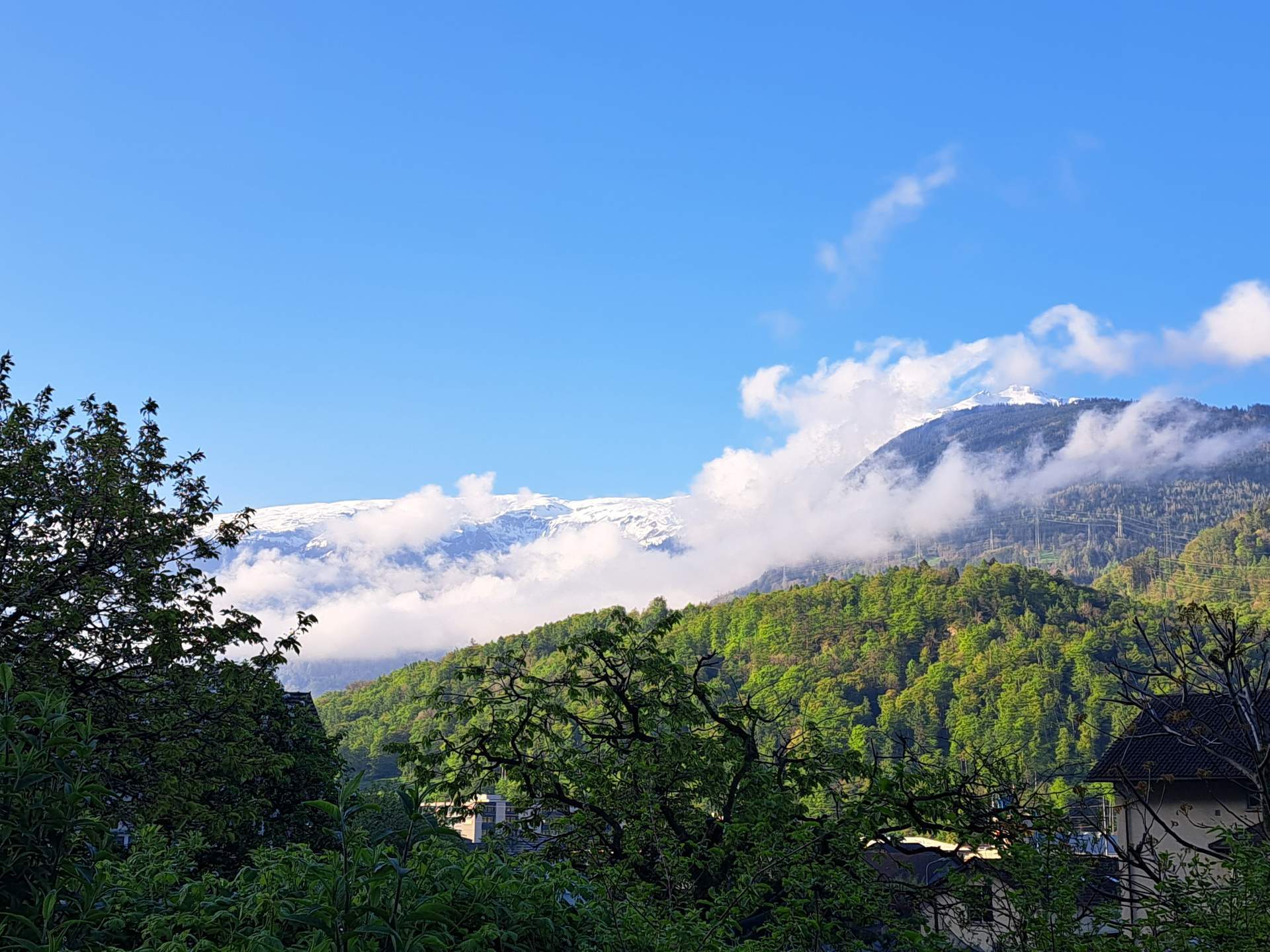
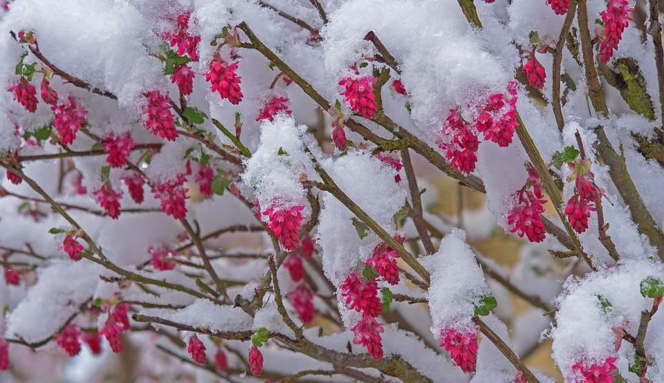
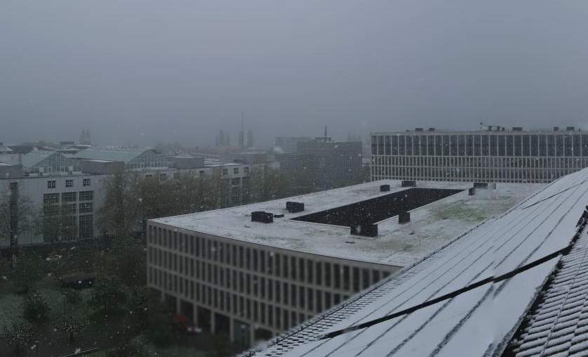
April did what it wanted this year, with snow down to low altitudes in the last few days. Snow in April occurs from time to time in the lowlands (on average about once or twice), but mostly in the first half of April. In addition, after a winter that was too wet in the Alps and a spring that has been too wet so far, there is currently much more snow than normal at high altitudes. This is certainly positive for the water balance in summer. The initial situation is also good for the glaciers, but the balance will depend heavily on the weather conditions in the summer.

From the second half of April, snow is rare in the lowlands
In the last few days, there has been repeated snow in the north down to low altitudes, with occasional white spells in the lowlands and in the deep Alpine valleys. On a long-term average, there are one or two days with snow on the Swiss Plateau in April, mostly in the first half of April. In the second half of April, however, snow is very rare (see Fig. 1).

Fig. 1: Days with snow from 1931 to 2024 on the Zürichberg; Source: myweather.ch
A day with snow is said to be when there is at least 1 centimeter of snow when measured in the morning at 6 a. m. UTC. So it may well be that it is white during the day or even at night with snow and sleet showers, but then there is no more snow in the morning measurement. This has often been the case in the last few days, with only very few stations at low altitudes reporting fresh snow at the morning measurement time.
Last date with snow
The following table shows the last date ever measured with at least one centimeter of snow at 6 a.m. UTC for some stations in the lowlands and in the deep Alpine valleys.
| Station | Last date with snow | Data since |
| Zürichberg | 7.5. 1957 (3 cm) | 1931 |
| Bern | 5.5. 2019 (4 cm) | 1931 |
| Basel | 28.4. 1985 (2 cm) | 1886 |
| Geneva | 23.4. 1986 (2 cm) | 1958 |
| Lucerne | 29.4. 1985 (1 cm) | 1958 |
| Chur | 23.5. 1983 (4 cm) | 1958 |
| Sion | 25.4. 1976 (5 cm) | 1958 |
| Lugano | 15.4. 1962 (1 cm) | 1931 |
| St. Gallen | 2.6. 1962 (4 cm) | 1959 |
Tab. 1: Date of the last measurable snow at low altitudes
It can be seen that the last measurable snow at most stations occurred in the second half of April or in the first decade of May. Exceptions are Chur on May 23 and the somewhat higher altitude of St. Gallen, where the date of the last snow was June 2.
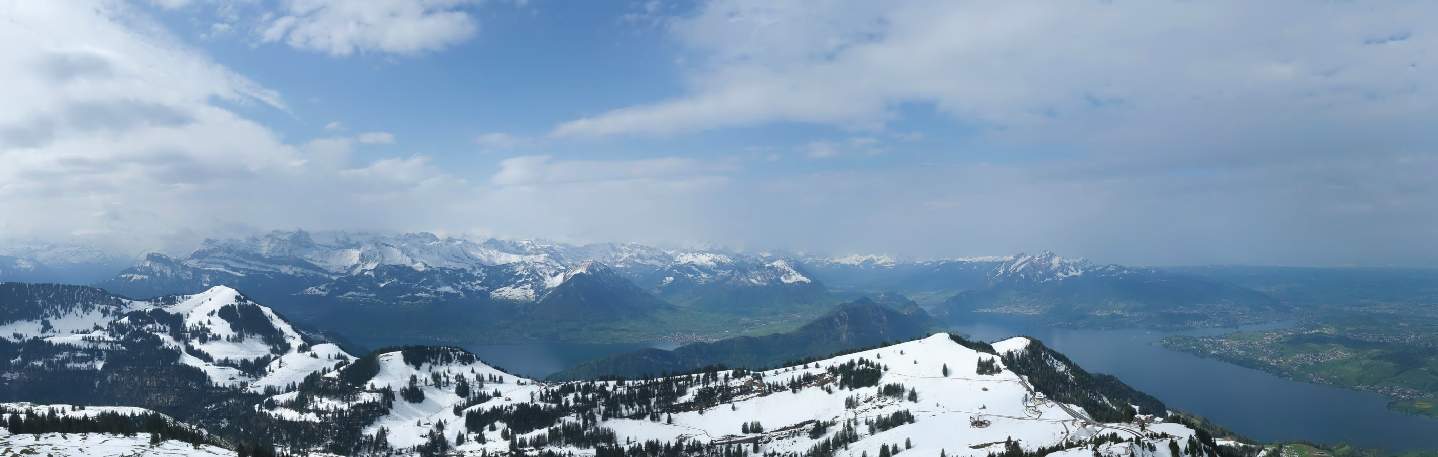
Much more snow than normal at high altitudes at this time of year
The winter and spring so far in the Alps have been in many cases significantly too wet (see Figs. 2 and 3).

Fig. 2: Precipitation deviation last winter compared to the long-term average 1991-2020; Source: MeteoNews, UBIMET

Fig. 3: Precipitation deviation so far in spring compared to the long-term average 1991-2020; Source: MeteoNews, UBIMET
As a result, there is significantly more snow at altitudes between 2000 and 2500 meters than usual at this time of year. According to the SLF's automatic measurements, it is over 4 meters in some places, and yesterday on the Säntis it was even 6 meters 75! This means that, in the long term, we are close to the highest amounts of snow ever measured here at this time of year (see Fig. 4 and Fig. 5).
")
Fig. 4: Development of snow depth on the Säntis since 1958 (red line last months); Source: myweather.ch

Fig. 5: Even on the temporarily sunny Jungfraujoch there is currently much more snow than normal; Source: roundshot
On average, the maximum snow depth at high altitudes only occurs in March or April and thus in the meteorological spring.
Good for the water balance
The excessively wet winter in many places and the excessively wet spring so far have ensured that the water reservoirs are well filled, which reduces the risk of water shortages in summer, even during longer dry periods. The abundance of snow in the mountains also reduces the risk of water problems in the Alps in summer, as the streams and rivers are fed by meltwater for a long time.
And the glaciers?
Basically, it is of course good for the glaciers that there is currently an above-average amount of snow at high altitudes. However, the summer will also be decisive; if the summer temperature is well above average, this could still result in another bad year for the glaciers. In addition, a lot of dust has been deposited after several Saharan dust events, which will reappear when the snow melts and then accelerate the melting of snow and ice, as happened two years ago. So despite the good conditions, it is not clear how the year will develop for the glaciers.
disclaimer
The content of this article has been at least partially computer translated from another language. Therefore, grammatical errors or inaccuracies are possible. Please note that the original language version of the article should be considered authoritative.