Clouds will dominate in the north today (Friday), with some sunshine at the weekend. However, it will not be 100% dry. It will be wet more often at the beginning of next week, then the influence of high pressure will gradually increase.

Very cloudy, little rain
As in the morning, Friday afternoon will also be cloudy in the north, although clear spells will be possible from time to time. In addition to long dry spells, there will also be a few showers, with the focus in the afternoon along the Alps (more in the west than in the east). Temperatures will reach 14 to 15 degrees with light to moderate south-westerly winds. In the south, it was quite sunny in the morning and around midday, but the risk of showers and thunderstorms will also increase in the afternoon. Here, the air will warm up to just under 20 degrees.

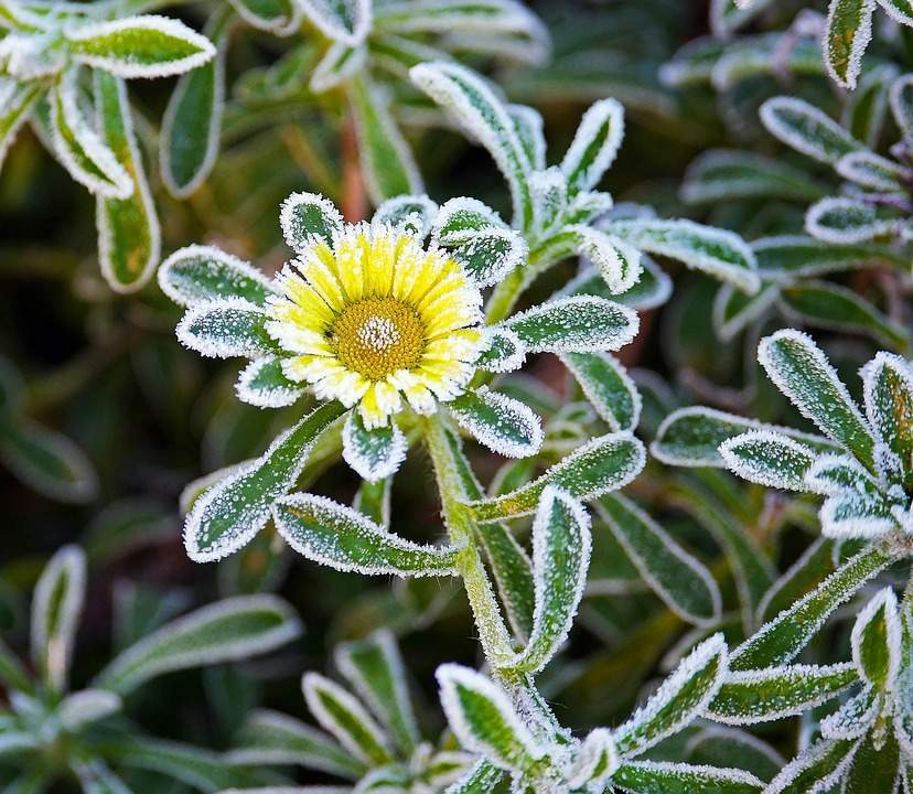
Fig. 1: View of Lake Sempach later in the morning; Source: Roundshot
These showers (and thunderstorms in the south) will continue into the night and move eastwards, but then the weather – will calm down and clear up from the west.
Mix of clouds and sun
In the east, Saturday morning will be friendly, even quite sunny in places. Clouds will increase in the afternoon, but apart from a few local exceptions, it will remain mainly dry. Temperatures will reach 17 to 18 degrees, with around 20 degrees in the Rhine Valley. The zero degree limit will be at 2500 to 2600 meters. There will generally be more clouds to the west and the tendency to shower will be somewhat higher than in the east. Overall, however, it will be mainly dry here too. In the south, we can expect a mix of sun and spring clouds, with local showers possible in the afternoon, especially in the mountains.

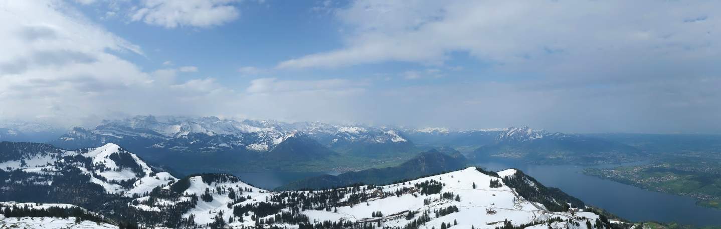
Fig. 2: Weather on Saturday – Clouds, sun and only local splashes of rain; Source: MeteoNews
A few showers, later also thunderstorms
Sunday will continue to be changeable. In the morning, it will be partly cloudy with some rain in some areas overnight. This will be followed by a calmer and longer dry phase, with a mix of clouds and sun. With the sunshine, however, the cloud cover will increase again, resulting in more downpours or even individual thunderstorms (our rain radar will help you keep track). Temperatures will hover around the 20 degree mark.
Rain showers and cooling from the west
After overnight downpours, there will still be dry spells and foehn-like clearing in central and eastern Switzerland on Monday morning, but the rain clouds of a cold front will already be in place in French-speaking Switzerland. And these will move further to the east during the day, with downpours and thunderstorms already forming in the area in front of them. In the afternoon and evening, it will rain widely – and sometimes heavily, with the focus of the precipitation gradually shifting eastwards during the night.

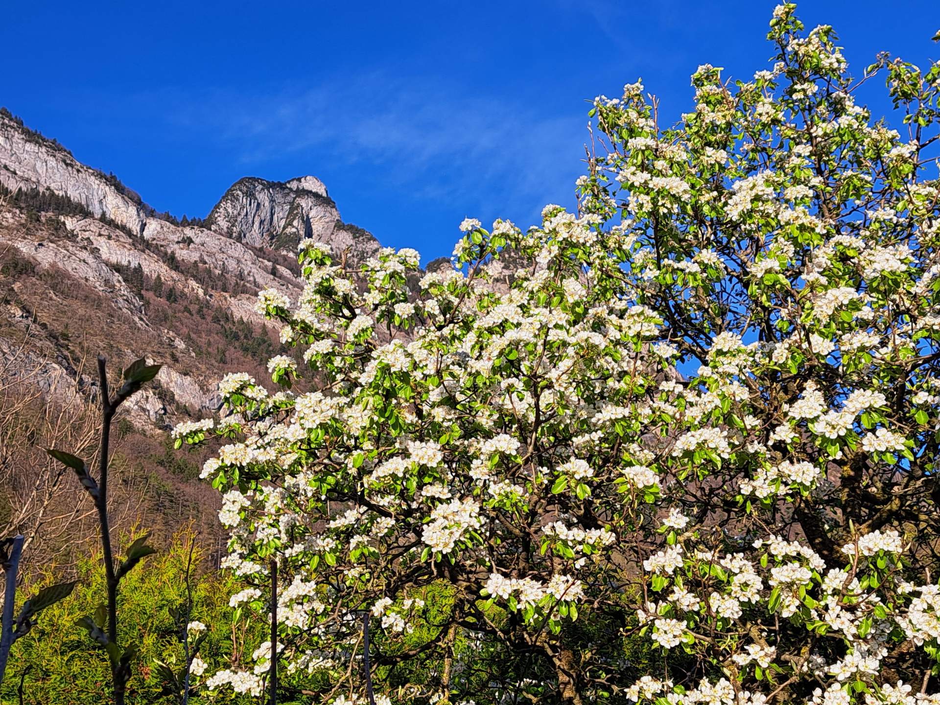
Fig. 3: Outlook for the coming days; Source: MeteoNews
Tuesday will continue with lots of clouds and a few downpours, with the snow line between 1700 and 1800 meters. There will be occasional sunny spells in the central plateau, while the clouds will be more compact along the mountains.
From the middle of the week, a building high will gradually begin to make itself felt, its influence increasing from day to day. From today's perspective, the Ascension weekend looks set to be a fairly sunny and pleasantly temperate affair.
disclaimer
The content of this article has been at least partially computer translated from another language. Therefore, grammatical errors or inaccuracies are possible. Please note that the original language version of the article should be considered authoritative.