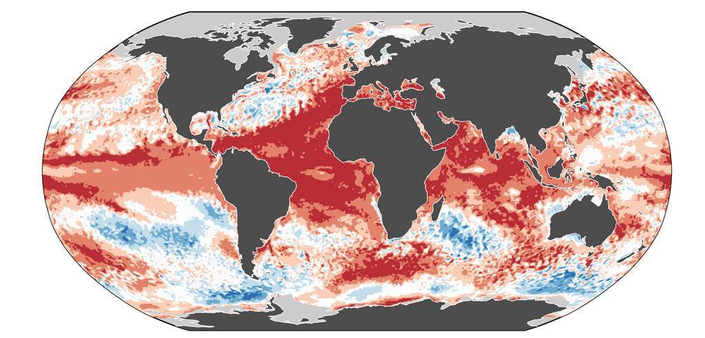
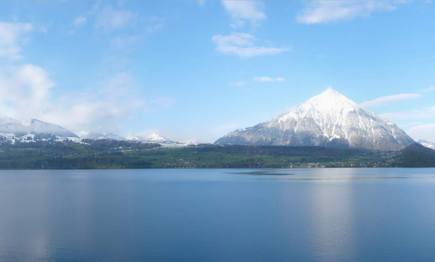
When we talk about spring weather, many of us think of sunshine, pleasant temperatures, blossoming flowers and birdsong. In reality, however, spring is often a time of great contrasts – a duel between mild and cool air. Over the next few days, we can experience a prime example of this at first hand.

Strong to stormy wind
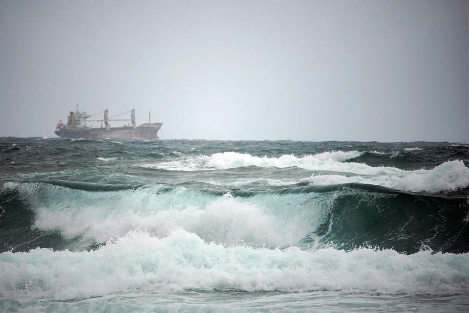
Most of the country is now on the back of the cold front, and the wind has also died down somewhat. The cold front brought strong to gale-force winds – initially in the lowlands, but later also in many valleys as the cooler air flowed in. There were gusts of over 100 km/h at several mountain stations, and even gale-force gusts on the Chasseral and Säntis.

Fig. 1: Strongest wind gusts on March 23, 2024; Source: MeteoNews, Ubimet
Strongest wind gusts (<900m, as of 14:30)
| Lowland stations | Strongest wind gusts (in km/h) |
|---|---|
| Schaffhausen (438 a.s.l.) | 93 |
| Cressier (432 a.s.l.) | 92 |
| Comprovasco (575 a.s.l.) | 91 |
| St. Chrischona (493 a.s.l.) | 90 |
| Uetliberg (869 a.s.l.) | 89 |
| Boltigen (820 a.s.l.) | 82 |
| Würenlingen (334 a.s.l.) | 82 |
| Neuchâtel (485 a.s.l.) | 81 |
| Nyon (430 a.s.l.) | 81 |
| Bière (684 a.s.l.) | 79 |
| Steckborn (398 a.s.l.) | 79 |
| Salen-Reutenen, Homburg TG (718 a.s.l.) | 79 |
| Bad Ragaz (496 a.s.l.) | 77 |
| Courtelary (685 a.s.l.) | 76 |
| Zurich Airport (436 a.s.l.) | 76 |
| Gösgen (380 a.s.l.) | 75 |
| Le Bouveret (375 a.s.l.) | 75 |
| Grenchen (430 a.s.l.) | 74 |
| Zurich-Zurichberg (556 a.s.l.) | 74 |
| Chur (555 a.s.l.) | 73 |
Strongest wind gusts (>900m, as of 14:35)
| Mountain stations | Strongest wind gusts (in km/h) |
|---|---|
| Chasseral (1599 a.s.l.) | 140 |
| Säntis (2502 a.s.l.) | 121 |
| Crap Masegn (2480 a.s.l.) | 110 |
| Pilatus (2106 a.s.l.) | 110 |
| Glacier des Diablerets (2966 a.s.l.) | 105 |
| Eggishorn (2893 a.s.l.) | 105 |
| Hörnli (1132 a.s.l.) | 101 |
| Jungfraujoch (3580 a.s.l.) | 99 |
| Moléson (1972 a.s.l.) | 97 |
| Bantiger (942 a.s.l.) | 96 |
| Simplon Dorf (1465 a.s.l.) | 94 |
| Brülisau-Leugangen (1045 a.s.l.) | 90 |
| Napf (1406 a.s.l.) | 86 |
| Titlis (3040 a.s.l.) | 86 |
| Naluns-Schlivera (2400 a.s.l.) | 86 |
| La Dôle (1670 a.s.l.) | 86 |
| Binn (1400 a.s.l.) | 81 |
| Berninapass (2328 a.s.l.) | 79 |
| Weissfluhjoch/Davos (2690 a.s.l.) | 78 |
| Corvatsch (3315 a.s.l.) | 77 |
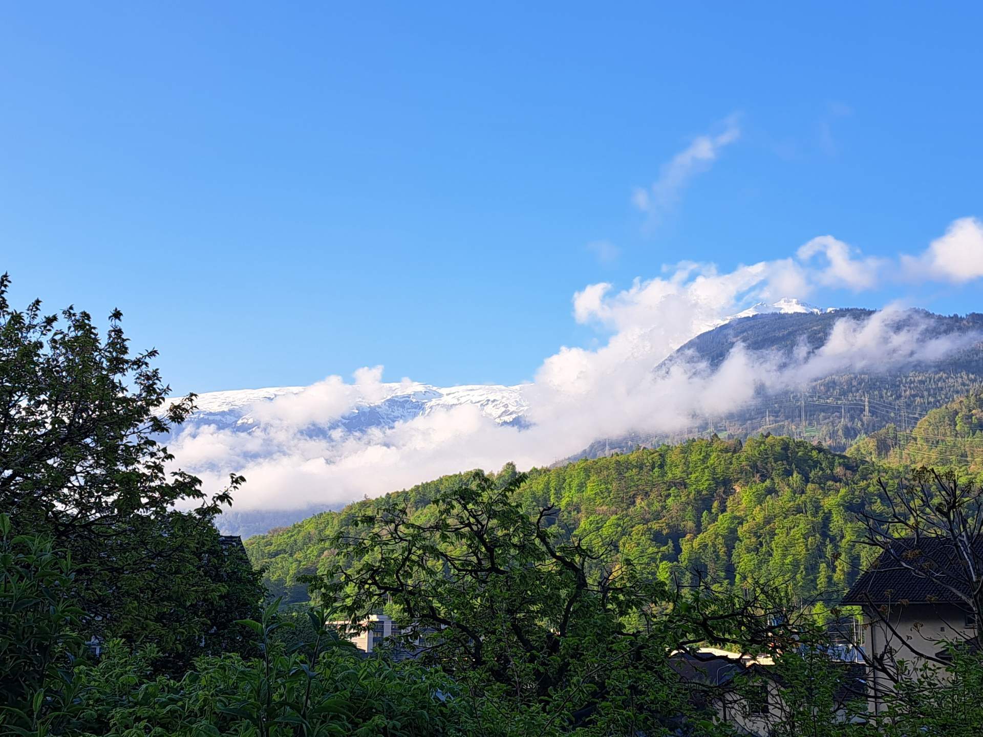
From cloudy to changeable
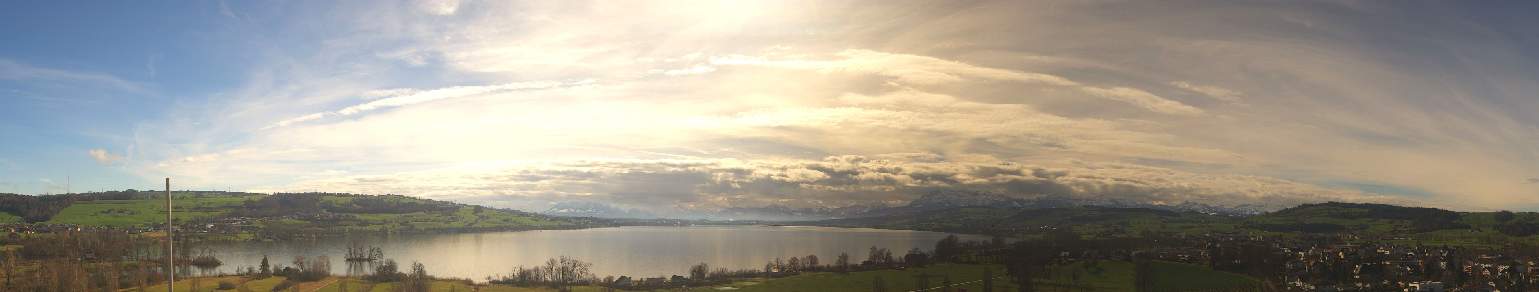
Thursday morning was a rather gloomy affair with cloudy skies, rain and a high snow line. This afternoon, however, the weather will return to a more changeable character. On the Swiss Plateau in particular, the sun will often shine between clusters of clouds, but isolated showers will also pass through – and thunder and lightning cannot be ruled out. Along the Alps, the clouds will remain more persistent and it will be wet more often. Depending on the sun and cloud cover, temperatures will reach highs of 15 to 18 degrees, with a slightly fresher south-westerly wind on the Swiss Plateau. The weather will calm down in the coming night and the last showers will subside.

Fig. 1: Later in the morning, clouds will clear over Basel; Source: Roundshot
Intermediate high pressure
Tomorrow, Friday, a ridge of high pressure will temporarily build up over the Alps, the air will be dry and very mild. On the Swiss Plateau, there will initially be fog in some areas, but this will clear during the day. Apart from that, the sun will initially share the sky with extensive high clouds, but these will tend to become fewer and thinner during the day. All in all, it will be quite sunny. In the afternoon, the air will warm up to a pleasant 18 to 20 degrees, with the zero degree limit at altitudes of around 3000 meters.

Fig. 2: Weather on Friday – quite sunny and spring-like mild during the day; Source: MeteoNews
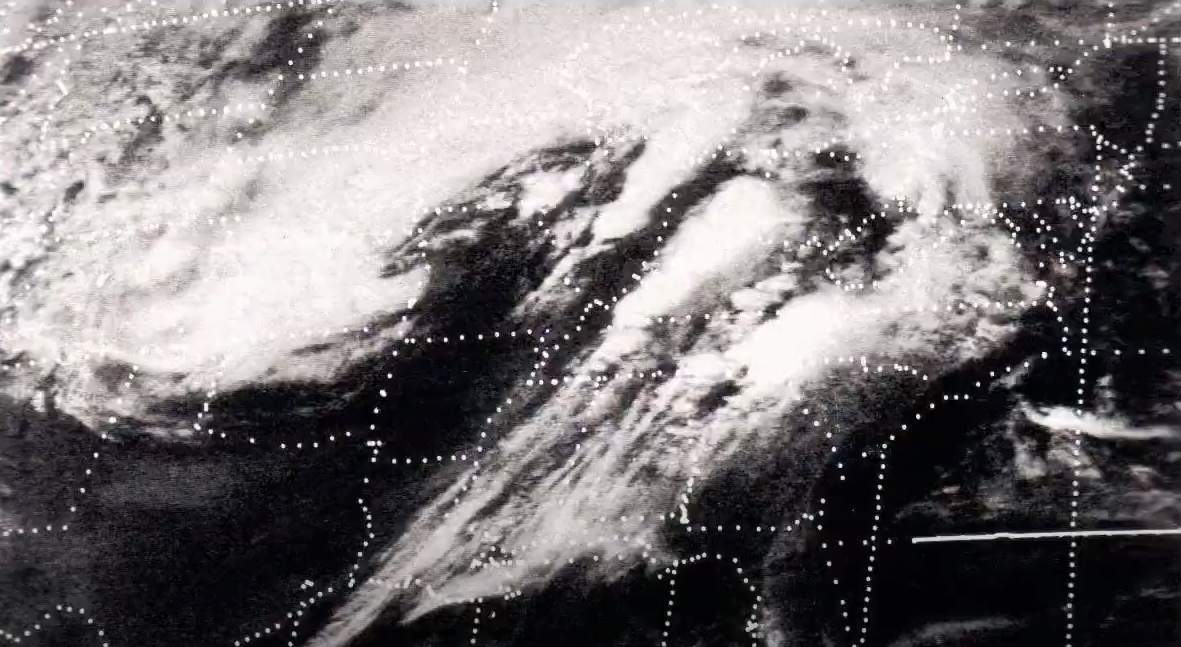
Cold front and high-altitude trough
Saturday offers a real contrasting program in comparison! A cold front will reach us from a low-pressure complex over northern and north-eastern Europe. In the east and in the inner Alps, it will still be mostly dry in the morning, but otherwise heavy downpours will spread from France and Germany.

Fig. 3: Precipitation band of the cold front on Saturday morning... ; Source: MeteoNews, Ubimet
The cold front will quickly pass over the Central Plateau and settle in the Alps. Here, it will remain cloudy and repeatedly wet until the evening, while changeable weather will set in on the backside on the Swiss Plateau. Behind the cold front follows the so-called high-altitude trough, an area with highly cool and unstable stratified air.

Fig. 4: ...and the high-altitude trough following it in the course of Saturday afternoon; Source: MeteoNews, Ubimet
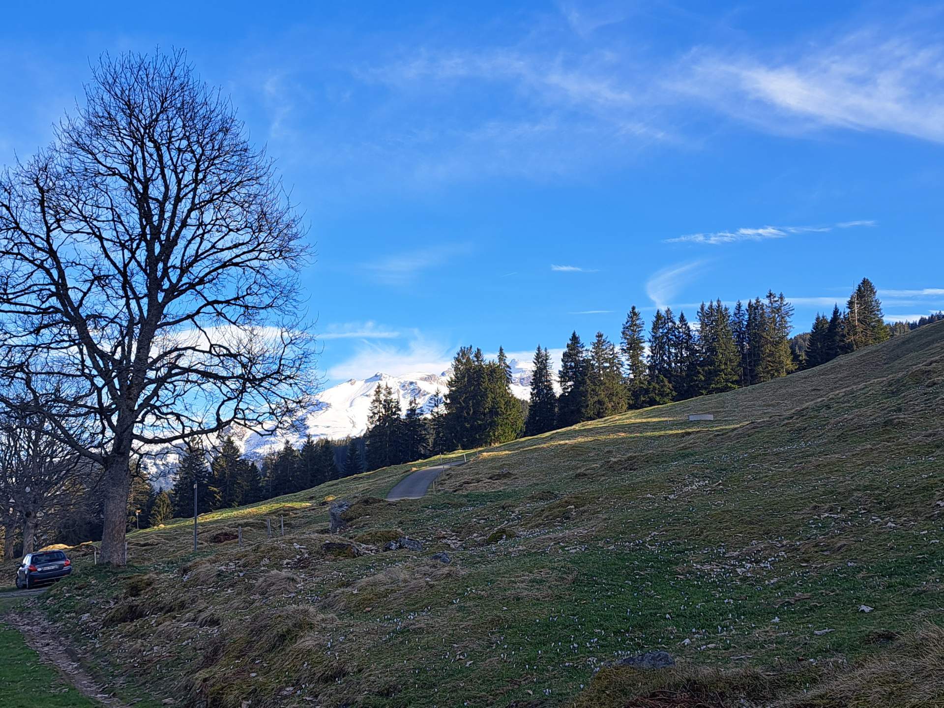
At the beginning, the snow line will still be around 1500 meters, but will then quickly drop to 900 to 1000 meters. Temperatures will drop significantly, with highs halving compared to the previous day. In addition, strong westerly winds will blow. The southern side of the Alps will remain sheltered, with a northerly foehn in the valleys.
Cool April weather on Palm Sunday
The following night and on Sunday morning, we will be in the area of the aforementioned high-altitude trough, resulting in an April-like weather pattern with repeated rain and sleet showers, sometimes interspersed with thunderstorms. The snow line will vary between 600 and 800 meters, with the flakes temporarily making it a little further down in heavy showers with high intensities. During the afternoon, the showers will slowly ease from the north-west, the dry spells will become longer and there will be more sunshine. Compared to Saturday, it will be a little cooler and it will remain very windy.

Fig. 5: Outlook for the coming days; Source: MeteoNews
Milder again and increasingly foehn
At the beginning of Holy Week, the weather situation will change again and it will become milder again. An intermediate high will take effect on Monday, drying out the air in the Alpine region. The clouds will clear as early as Monday night and the wind will weaken. As a result, there is a widespread threat of ground frost on Monday morning, but temperatures can also drop to around or just below freezing at an altitude of 2 meters (hut frost). During the day, there will be a mix of sunshine and high cloud fields, with double-digit highs again in the afternoon. The zero degree line will rise to between 2400 and 2700 meters from the west. Tuesday night will also be chilly and there is still a certain risk of frost. The intermediate high will dissipate and we will reach the front of a low over south-western and western Europe. This will bring an increasingly foehn-like southerly current over the Alps. This will bring us mild but humid air from the Mediterranean, which will then begin to accumulate on the southern slopes of the Alps.
dichiarazione liberatoria
Il contenuto di questo articolo è stato almeno parzialmente tradotto al computer da un'altra lingua. Sono pertanto possibili errori grammaticali o imprecisioni. Si prega di notare che la versione in lingua originale dell'articolo deve essere considerata autorevole.