This week got off to a gloomy start, but as it progressed, there was still plenty of spring in the air. However, the following setback is already looming on the forecast horizon...

First cloudy and wet, then changeable
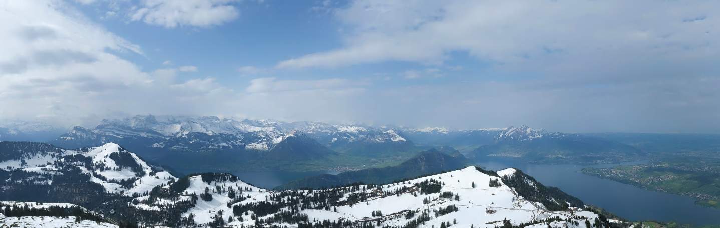
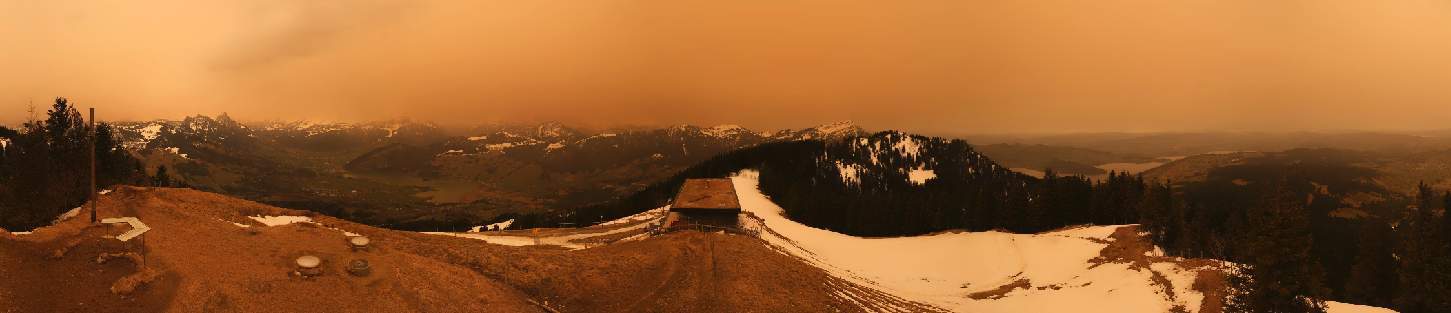
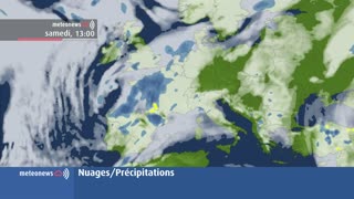
Embedded in a north-westerly current, a wave of very humid air reached the Alpine region and the morning was a real washout. The snow line varied between 1600 and 2000 meters – depending on the intensity and the valley. In the coming hours, the precipitation will ease and move further eastwards, with a more April-like weather character developing from the west. In the swiss plateau, the sun will increasingly appear between clouds, but there will still be a few showers. In the far north, there may be isolated lightning and thunder. The clouds will be more persistent along the Alps, where the last showers will only subside in the course of the coming night.

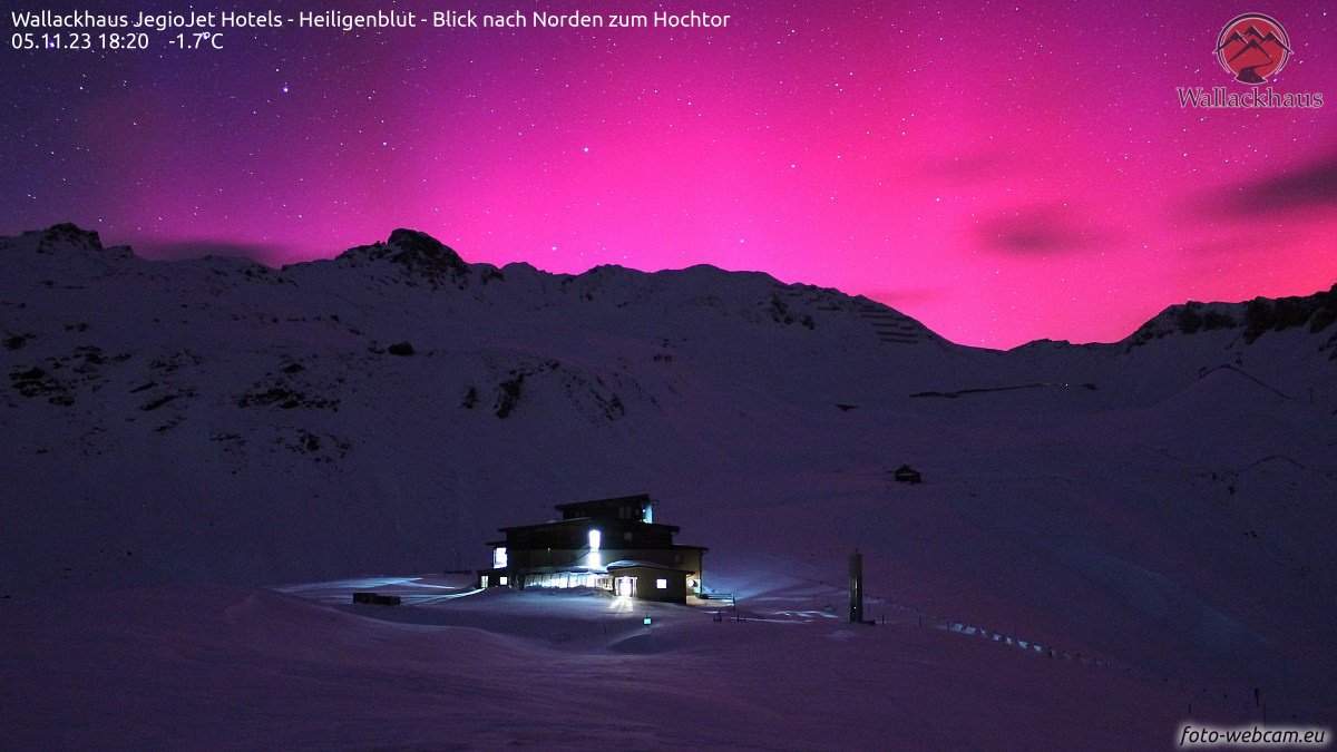
Fig. 1: Later in the morning there were already clearings again on Lake Geneva – here is the view from Coppet; Source: Roundshot
High fog, sun and high cloud fields
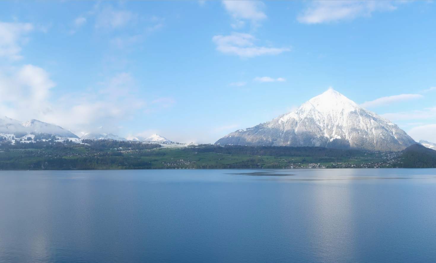
Tomorrow, Tuesday, we will be under the influence of a high, which will be mainly in the upper air layers. In the lowlands, the day will begin with deep high fog, the upper limit being in the range of 800 to 900 meters. These clouds will gradually clear. Apart from that, the sun will mainly share the sky with high veils of cloud, with harmless cumulus clouds forming over the Jura and the foothills of the Alps. It will be milder at all altitudes, with the zero degree line rising to 2300 to 2700 meters – higher in the west than in the east. At low altitudes, it will reach 16 to 17 degrees in the afternoon and around 18 degrees in the south.

Fig. 2: Weather tomorrow Tuesday – First fog or low fog, otherwise quite sunny with high clouds; Source: MeteoNews
Spring begins in style
Spring begins on Wednesday morning at 04:06 CET, day and night are of equal length (vernal equinox). And the weather will be just right, with one of the mildest days on the northern side of the Alps so far. Fog patches in the swiss plateau will clear during the day. Otherwise, the sun will generally have a good chance to shine, although the sky will rarely be truly blue – as there will also be plenty of veil clouds. In the afternoon, the air in the north will warm up to 18 to locally 20 degrees, with the zero degree line climbing to 2800 to 2900 meters. In the south, there will be a lot of low-lying clouds for once, and it may drizzle lightly in places. As a result, it won't be quite as mild.
More unsettled, but still mild
On Thursday, a disturbance will move through from the northwest. It will bring clouds and rain showers, which will become increasingly concentrated along the Alps during the course of the day. The snow line will be between 1800 and 2200 meters. Temperatures will drop only slightly, remaining mild at 15 to 17 degrees. The day will be dry in the south.
Friendly and mild Friday
Behind this disturbance, an intermediate high will affect the weather on Friday. There will be some fog in the swiss plateau at first, otherwise it will be partly to quite sunny with only harmless cumulus and veil clouds. There will be little change to the pleasant and spring-like temperature level, with the zero degree limit at 2800 to 3000 meters. You should make the most of this, as the weekend will bring a considerable drop in temperatures...

Fig. 3: Outlook for the coming days; Source: MeteoNews
A damper on spring fever
Starting from a prominent Scandinavian low, a cold front will hit us on Saturday, bringing with it a wave of damp and, above all, much cooler air. Rain showers will spread from France and Germany, with the main focus of precipitation shifting to the Alps by the evening. From today's perspective, the snow line will drop to around 1000 meters. Temperatures will drop accordingly, with highs only in the region of 10 degrees. In the south, it will still be dry on Saturday morning, but in the afternoon it will also start to rain increasingly here due to a developing Italian low. The upper-level current will turn to the northwest, and colder air will reach the northern side of the Alps again on Sunday. With variable to heavy cloud cover, there will be repeated showers and the snow line will drop to 600 to 800 meters (although these numbers should still be treated with caution). At the beginning of next week, the weather will begin to calm down and the risk of frost will become an issue!
clause de non-responsabilité
Le contenu de cet article a été traduit au moins en partie par ordinateur à partir d'une autre langue. Des erreurs grammaticales ou des imprécisions sont donc possibles. Veuillez noter que la version linguistique originale de l'article doit être considérée comme faisant foi.