After the extremely warm weekend with local April records, the weather situation is gradually changing in the new week. A first cold front will bring showers today (Monday), followed by another cold front next night. This heralds a rather cool and changeable weather phase.

Sechseläuten – The fate of summer
Today, the fate of summer is determined – at least if the Böögg at Sechseläuten in Zurich is to be believed. However, there is no scientific link between the burning time of the Böögg and the average summer temperature. You can read more about this topic in this blog, among others.

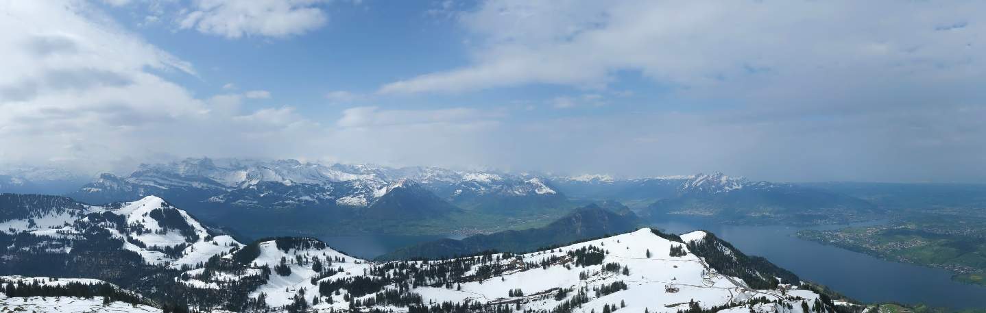
Fig. 1: Current view of Sechseläutenplatz in Zurich; Source: Roundshot
More reliable than the summer forecasts for the Böögg are the weather forecasts. Today, Monday, will be on the cloudy side. In the first half of the day, a low with a center over the North Sea will steer a first "fragmented" cold front across the country. This will manifest itself in passing lines of showers, some of which will be interspersed with thunderstorms due to the unstable air layers. In the second half of the day, a fairly friendly and often dry mix of sun and clouds will develop on the Swiss Plateau, with showers remaining somewhat more widespread along the foothills of the Alps. The spectacle on Sechseläutenplatz should therefore be dry and at least partly sunny. It remains to be seen to what extent the showers in the first half of the day will affect the duration of the Bööggs and thus the summer forecast. After a partly record warm weekend, it will continue to be very mild at the start of the week. Highs will reach between 17 and 19 degrees with strong south-westerly to westerly winds.

Fig. 2: Weather at the start of the week; Source: MeteoNews
Second cold front finally ends warm phase
After a temporary sunny spell this afternoon and evening, the next cold front will reach us next night. The snow line will drop from around 1300 meters to just over 1000 meters. Tuesday will be variably cloudy and occasionally wet in the lowlands, especially in the morning, but mostly dry in the afternoon with some longer sunny spells. Along the foothills of the Alps and in the mountains, more patience will be needed tomorrow. Here it will be wet at times until the evening. The snow line will be between 800 and 1000 meters. Temperatures will drop significantly compared to the previous day, with temperatures often still around 11 to 13 degrees. A partly strong westerly wind with gusts of 50 to 60 km/h will continue to blow.
Still changeable in the north
The changeable and much cooler weather will continue in the following days. Sunny spells will alternate with showers, with the snow line generally between 700 and 900 meters. However, depending on the timing and intensity of the showers, there may well be a few flakes or even sleet a little lower down. From an altitude of around 1000 meters, we can definitely speak of a small winter comeback. Towards the west, the rising breeze will make for somewhat friendlier conditions from Friday. Highs in the east will be around or just below 10 degrees from Wednesday to the weekend, with 10 to 14 degrees in western Switzerland. Depending on the model, this changeable weather could stay with us for some time to come; you can always find the latest forecasts on our website.
You should also keep an eye on the early temperatures. The focus will be on the nights of Thursday and especially Friday. If the clouds clear up as forecasted by the models and mixing is prevented due to weak wind conditions, we can expect hut frost (at 2 meters) at least in some areas , and ground frost seems practically certain. It is therefore definitely worth protecting cold-sensitive plants wherever possible.

Fig. 3: Hoarfrost in the morning – It could look something like this on Friday; Source: Pixabay
Quite sunny and mild in the south with foehn winds
In terms of weather, you won't miss much in the north this week, but there will be plenty of sunshine on the southern side of the Alps. From tomorrow onwards, the sun will dominate here, although high cloud fields will cross the sky at times. With a strong northerly foehn, especially on Tuesday, highs will be between 16 and 21 degrees throughout.

Fig. 4: Prospects until Sunday; Source: MeteoNews
disclaimer
The content of this article has been at least partially computer translated from another language. Therefore, grammatical errors or inaccuracies are possible. Please note that the original language version of the article should be considered authoritative.